Shepherds' huts path
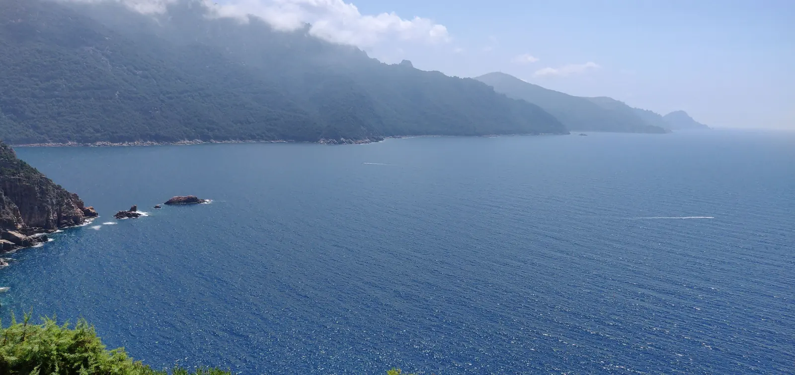
Ruins of a dry-stone shepherd hut, with views over Porto harbour and its Genoese tower. Easy and short.
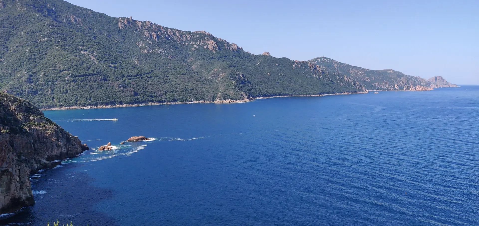
Hard · 5.5 km there and back · +256 m · Our honest view: magnificent, but not for everyone
The full route sets off from the Porto marina, by the Travail de la Nacre shop. From there a very steep path joins the Luigi wall and climbs up to the calanques of Serriera.
At that point you follow the road as far as the firefighters' viewpoint — the spot we used to call “the truck”. From there you drop down a little towards Serriera, and on the left a path under the trees leads down to the beach.
It is magnificent, both the viewpoint and the path. But the start from the Porto marina is genuinely treacherous, which is why I do not recommend it as it stands.
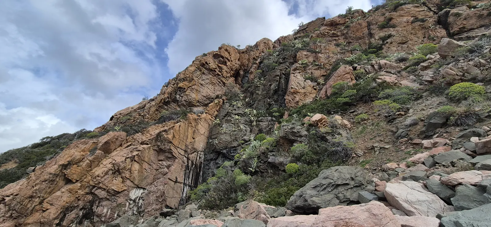
Park directly on the heights of Porto, by the mobile phone mast, then walk along the calanques down to the beach. You keep everything that makes the route beautiful, without the dangerous section at the start.
The track below is our own GPS recording, in the heights of Porto → Bussaglia beach direction. The marker shows the start we recommend, not the one at the marina.
Unlike other hikes around here, the reward is not the destination but the journey. And since the whole thing can be done by car, this is a path for a minority of walkers — or for anyone after a brisk running outing.
It is in fact the path that was used for the 0–1000 m section of the Alplana race.
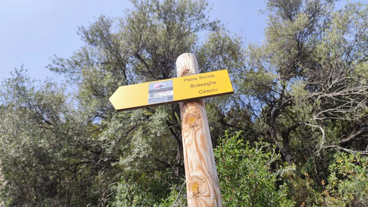
Down below, the pebble beach is framed by the calanques of Serriera. That is where the route ends — and for many people it is the only part they will see, since you can also drive there.
2.8 km one way, so 5.5 km there and back from the mast.
+256 m cumulative there and back: 60 m out, 196 m on the way back.
155 m at the highest point, 4 m at the beach.
Hard — mainly because of the start from the marina.
Bussaglia beach, commune of Serriera.
A minority of walkers, or a brisk running outing.
Not given: it depends far too much on the start you choose and on your pace.
The figures above are measured on our GPS track, from the heights of Porto. The full route from the marina is longer and steeper — we will not put a number on it until we have recorded it ourselves.
Hôtel Le Vaïta is on the Porto marina, right where this route begins. Our reception team will tell you honestly which hikes suit your group — and which ones to skip. Book direct for our best guaranteed rate.