
Sainte-Lucie village
An abandoned village above the Porto–Ota road, with a view over the gulf. Very short, very easy, and in the shade.
Short but intense · Porto–Ota · 2.4 km · +224 m
Set between Porto and Ota, the Pinello footbridge is my running route. This stretch of river is the old path once used to walk down to Porto. What fascinates me is the variety of lovely picnic spots all along the way.
What makes this walk special is that you get to see a ruined bridge, the footbridge itself, and the mill once used to press oil from the huge olive grove of Ota. On arriving in Ota, a fountain is there to cool you down.
The village of Ota is also an ideal base for many hikes, such as the Castelu or the Spelunca, with no need for a car. Sadly there is little water for swimming in this area, but that takes nothing away from the beauty and charm of the walk.
The figures: 2.4 km one way and 224 m of ascent from the dirt track between Camping Funtana à l'Ora and the shed, climbing to around 321 m. Allow about 1h10 there and back: the climb takes up most of it, the way back is far quicker since it is all downhill.
It is a point-to-point, not a loop: you can walk it in either direction, or stop in Ota and be picked up there rather than walking back down.
The route includes a ford: crossing depends on the water level, so ask at reception before setting off. Dogs are also to be expected along the way.
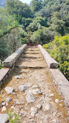
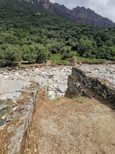
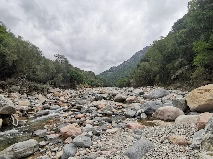
The track below is our own GPS recording, in the Porto → Ota direction. The marker shows the start, on the dirt track past the campsite.
~1h10 there and back. The return is short: it is all downhill.
2.4 km one way, so about 4.8 km there and back.
~224 m of climbing.
321 m at the highest point.
A ford to cross and the presence of dogs. Plan how you get back.
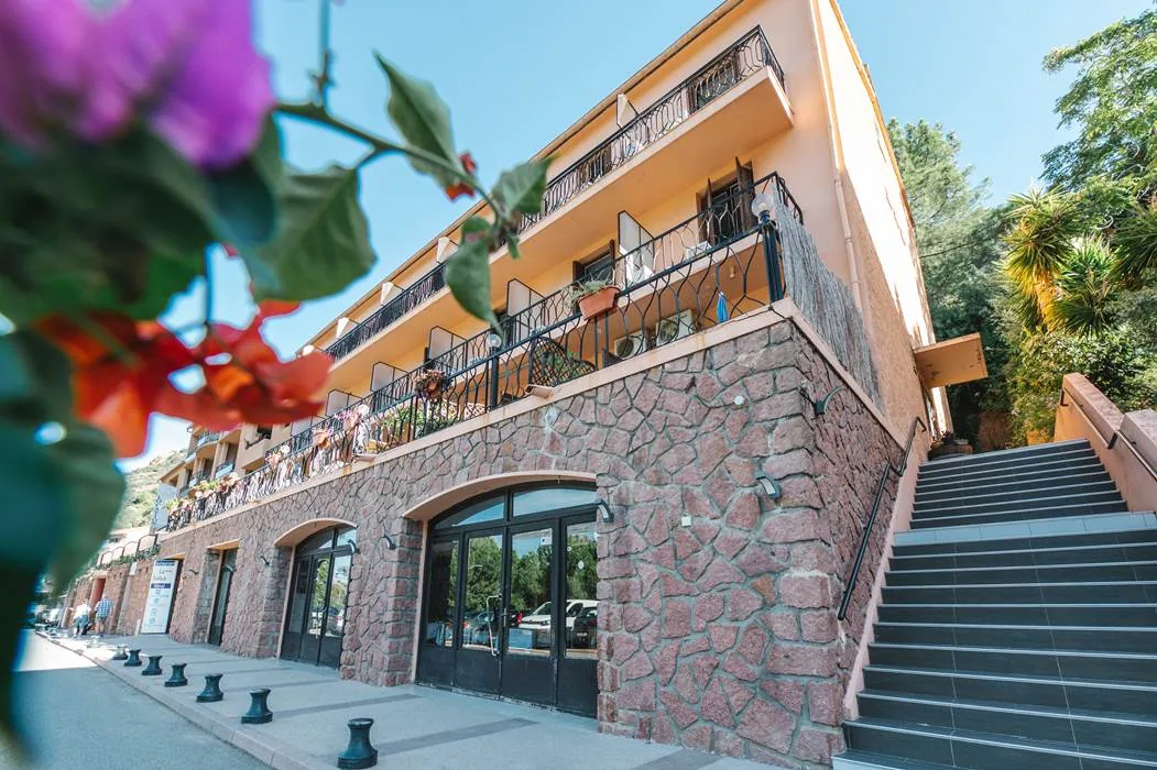
Hôtel Le Vaïta is on the Porto marina, a few minutes from the start of the Pinello footbridge walk. Our reception team can tell you about the state of the ford and the hikes that suit your group. Book direct for our best guaranteed rate.